Around Town
Snow Emergency Called for Major Snow Storm Forecast to Drop 15+ Inches on Watertown
|
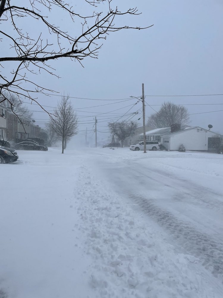
Teddy KokorosA major snow storm is forecast to drop 15 inches or more on Watertown on Jan. 25 and 26. Above, Main Street on the westside of Watertown during the Jan. 29, 2022 blizzard. A Snow Emergency has been called in Watertown beginning on Sunday for the storm expected to dump as much as 20 inches of snow over two days.