(UPDATED July 2, 8:55 a.m.: The library will be open until 7 p.m. Friday.)
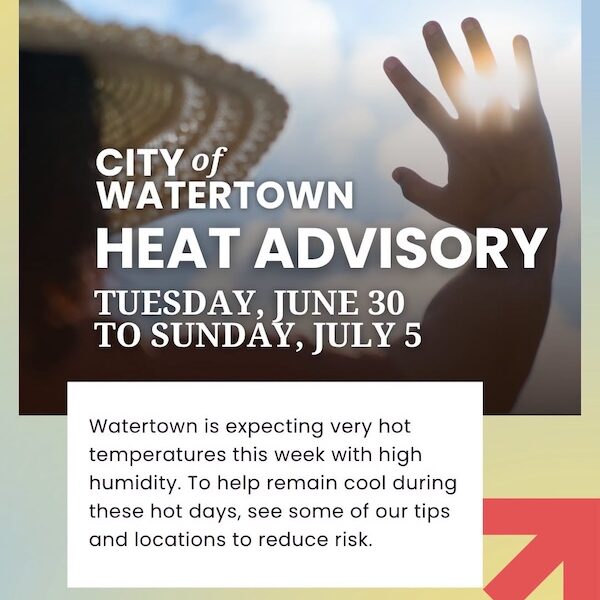
With temperatures forecast to reach 100 degrees this week, the City of Watertown has compiled a list of places to keep cool during the heatwave. The National Weather Center has issued an Extreme Heat Warning from July 1 at 10 a.m. to July 4 at 8 p.m. As of Tuesday at 11 a.m., the forecast highs are 95 degrees on Wednesday, 100 degrees on Thursday and Friday, and 95 degrees on Saturday, which is Independence Day. With high humidity expected, the high “feels like” temperature will be over 100 degrees from Wednesday to Friday, topping out at 109 degrees on Thursday. The City of Watertown put together information during the heatwave at watertown-ma.gov/warm-weather-updates. The City provided the following information:
Watertown is expecting very hot temperatures this week with high humidity.