Around Town
Charles River Group Releases New Flooding Model for Communities Along River
|
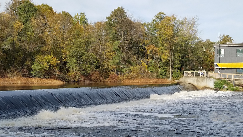
Charlie BreitroseThe Watertown Dam near Watertown Square slows the flow of the Charles River. The following announcement was provided by the Charles River Watershed Association:
The Town of Watertown, in partnership with the Charles River Watershed Association (CRWA) and 14 other communities in the upper and middle Charles River watershed, is excited to announce the release of the Charles River Flood Model (CRFM). Funded by the MA Executive Office of Energy and Environmental Affairs FY21 MVP Action Grant Program, and developed by Weston & Sampson, this flood model can help communities protect vulnerable populations and property from flooding. The Charles River Flood Model visualizes the impacts of increasingly severe storm events that will become more common with climate change, then shows what happens if we invest in nature based solutions such as land conservation, green stormwater infrastructure, and/or reducing impervious surfaces. This model comes at an important time.